
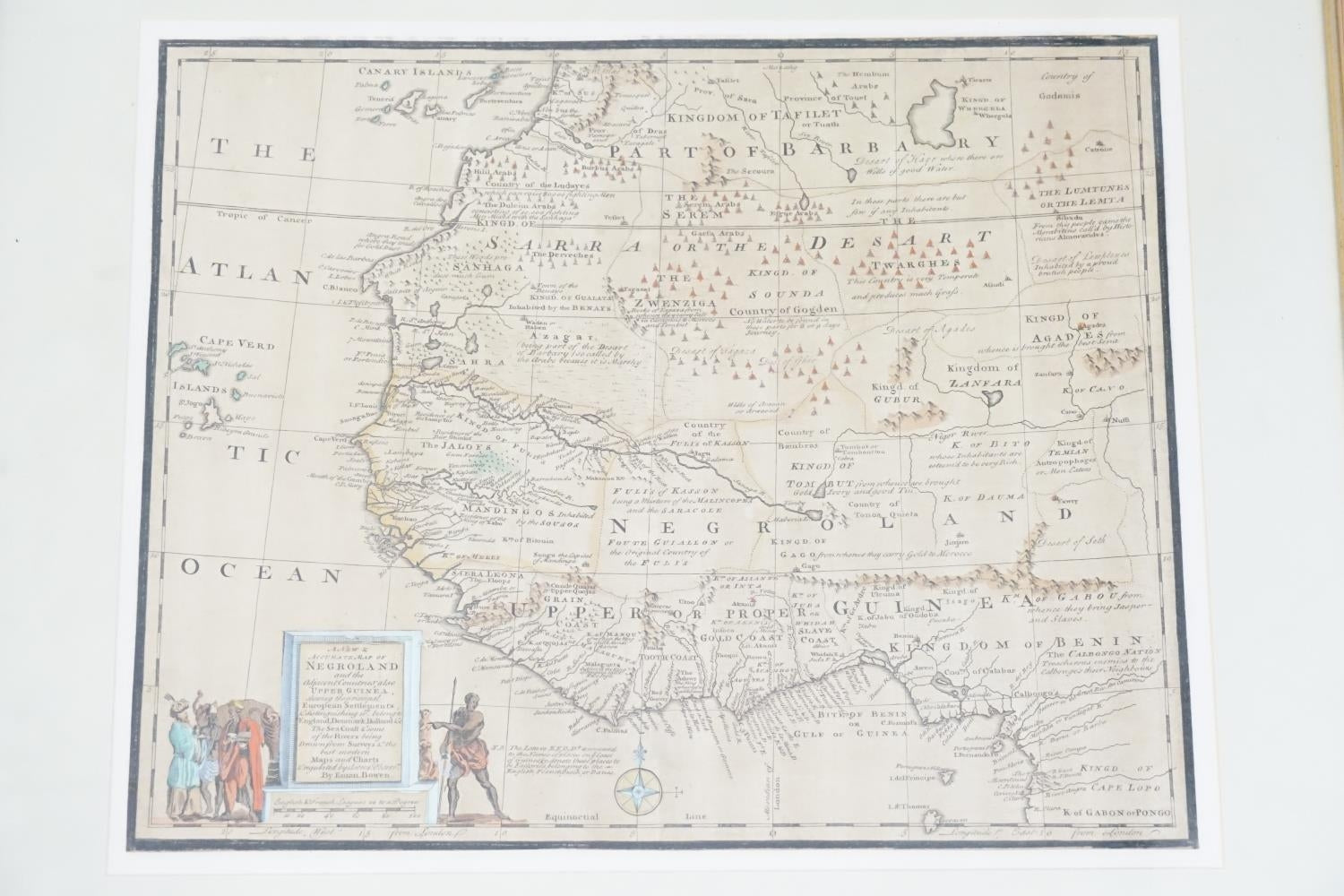
Very Rare 1747 E BOWEN'S MAP OF WEST AFRICA SLAVERY HAND COLOURED
Regular price
£200.00 GBP
Regular price
Sale price
£200.00 GBP
Unit price
per
Tax included.
Couldn't load pickup availability
1747 E BOWEN'S MAP OF WEST AFRICA SLAVERY HAND COLOURED GOOD SIZE
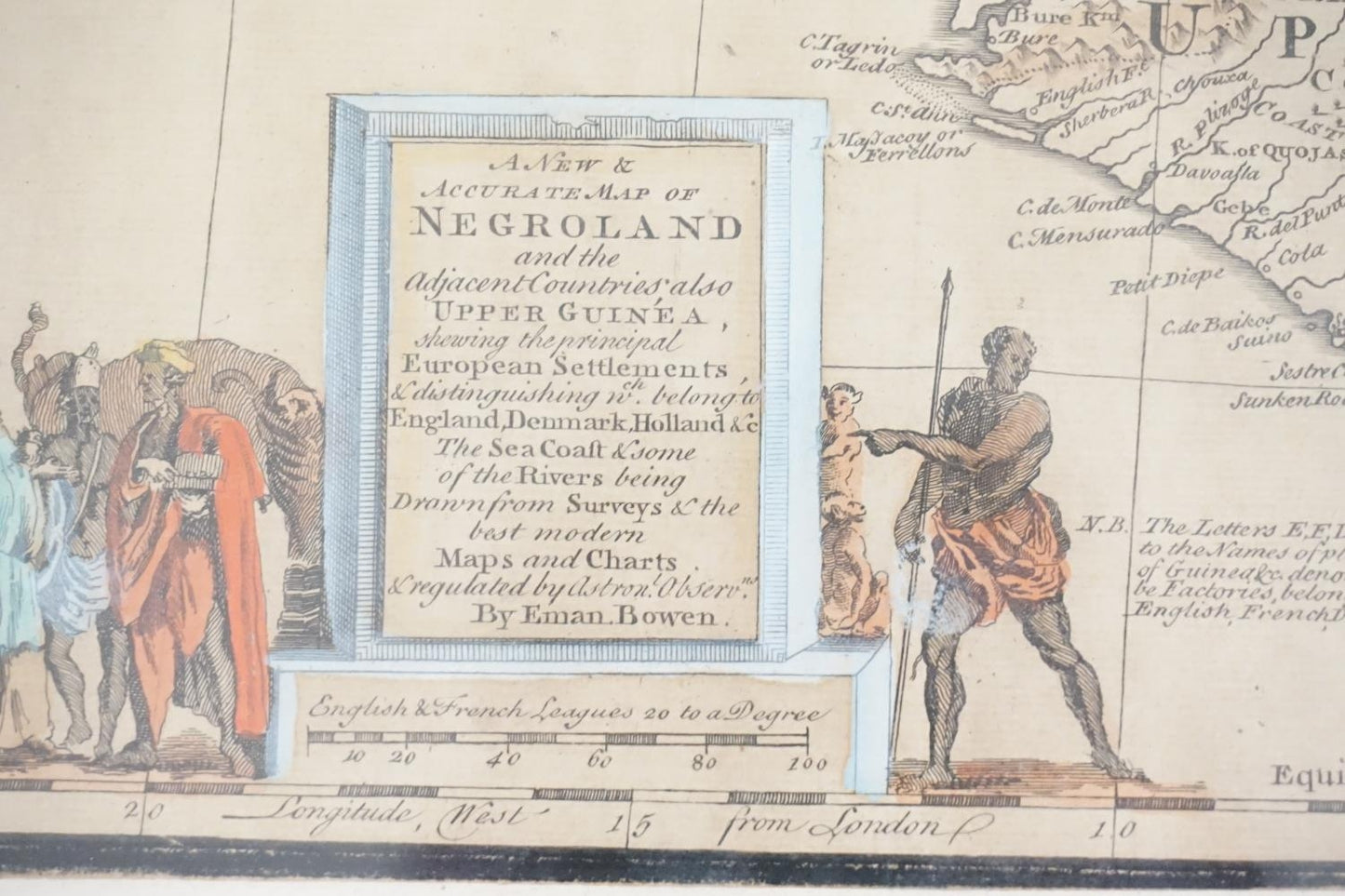
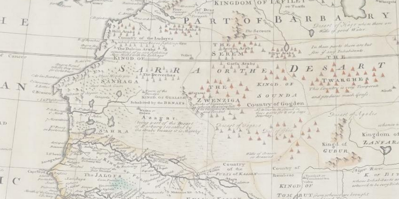
Bowen's map of West Africa from the Canary Islands to Congo. From 'A Complete System of Geography'. Decorated with a compass rose and a nice figural title cartouche.
This is a quite scarce, hand coloured, mid 18th century map of West Africa by Emanuel Bowen who was a printer, publisher and map engraver in London during the mid-eighteenth century. From 1714 onwards he worked in London and began to produce some of the finest and most attractive maps of the century.
Cartographe - Emanuel Bowen
Title - A New Accurate Map of Negroland and the Adjacent Countries, also Upper Guinea ...
Publisher E. Bowen, London, 1747
Plate Size 34.3 x 41.7 cm (13.5 x 16.4 inches)
Sheet Size 42.3 x 48.5 cm (16.7 x 19.1 inches)