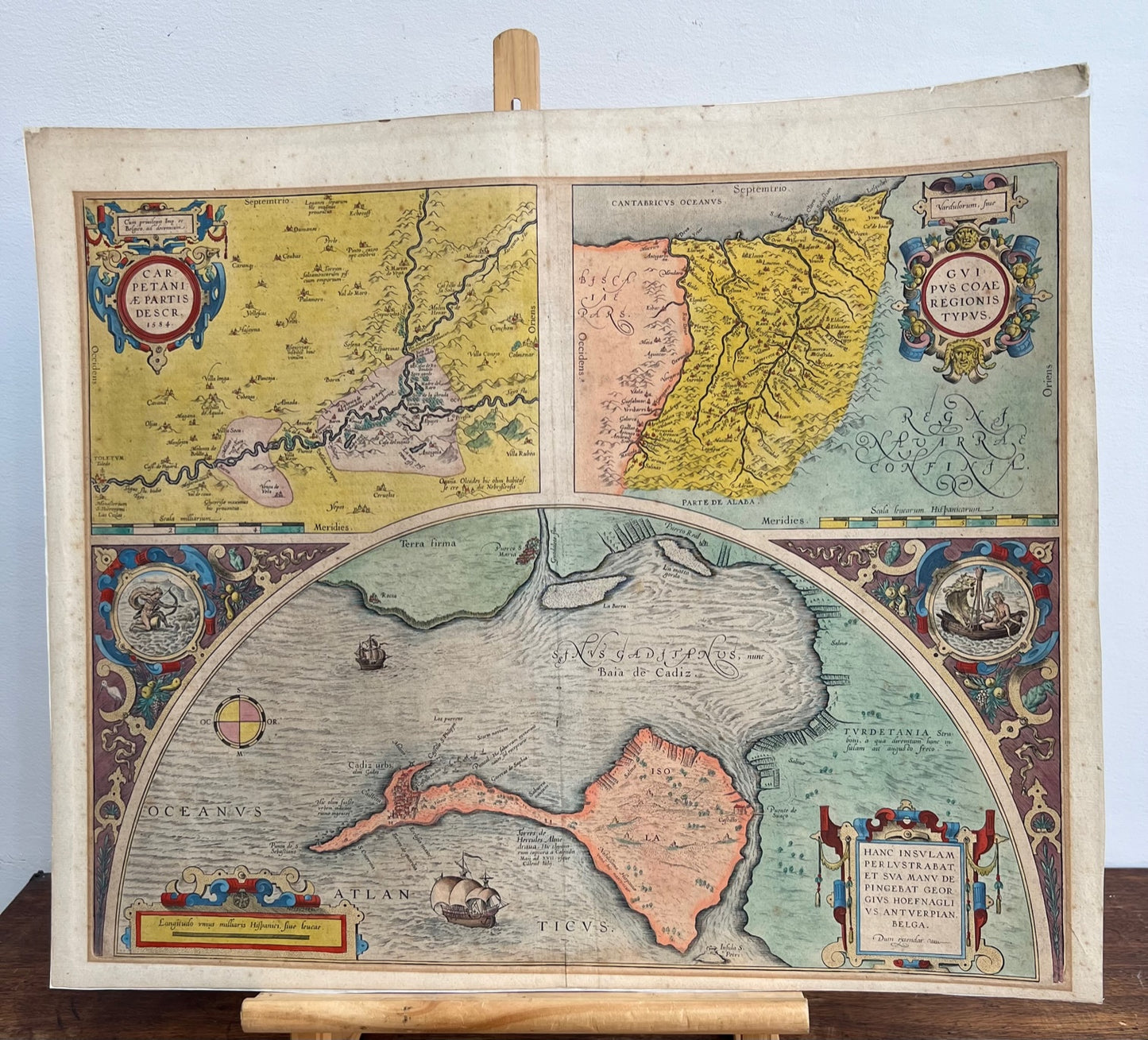


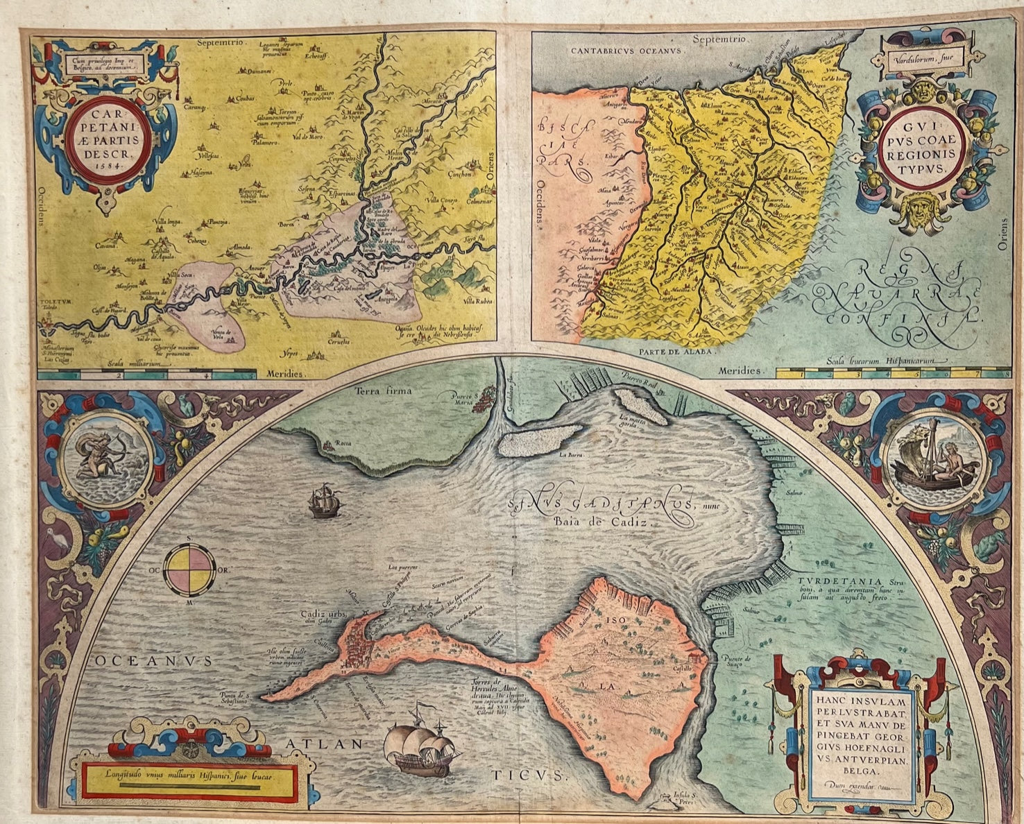
Early Ortelius map of Spain (Cadiz, Gibraltar etc) 1608
Regular price
£300.00 GBP
Regular price
Sale price
£300.00 GBP
Unit price
per
Tax included.
Couldn't load pickup availability
Early Ortelius map of Spain (Cadiz, Gibraltar etc) 1608
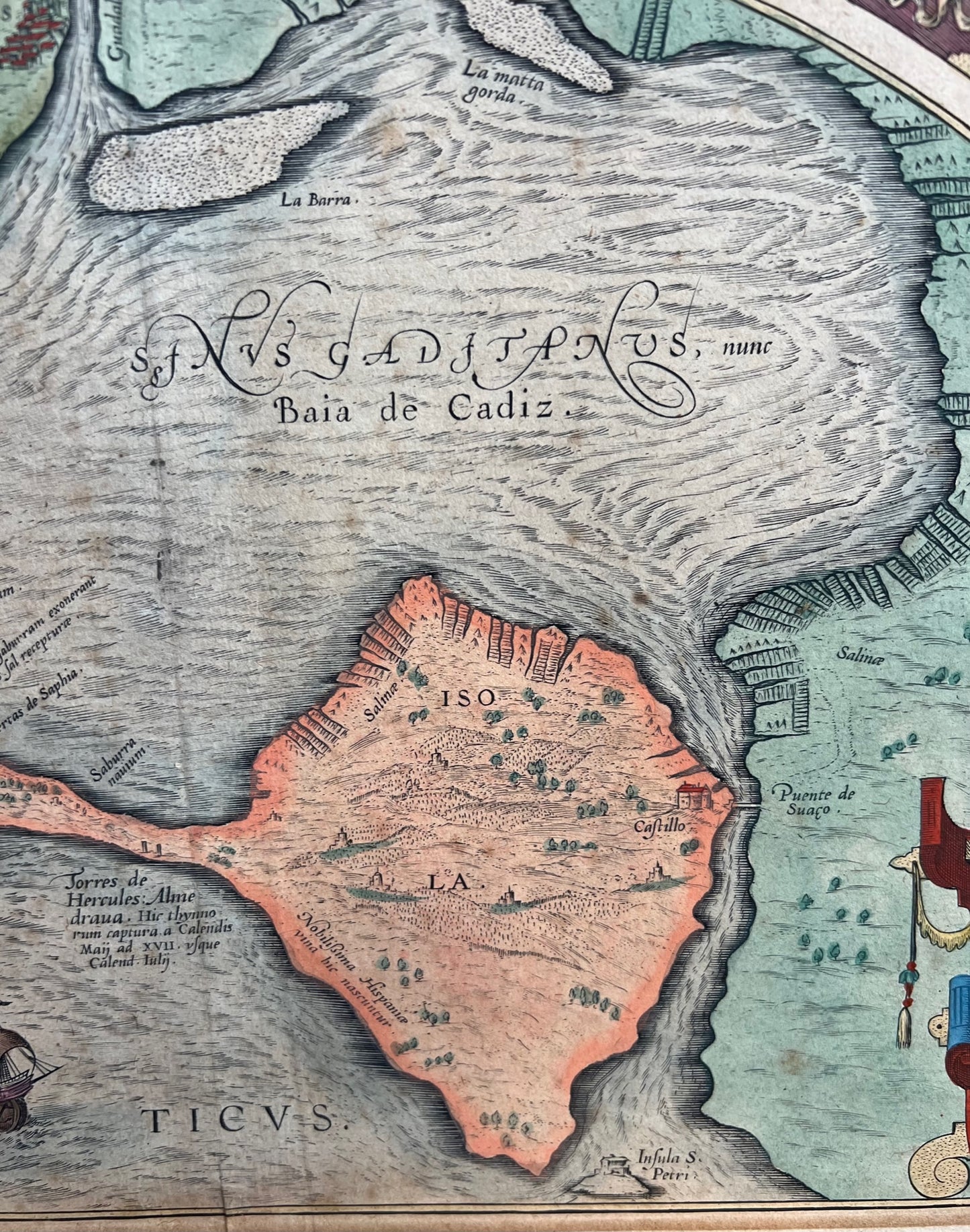
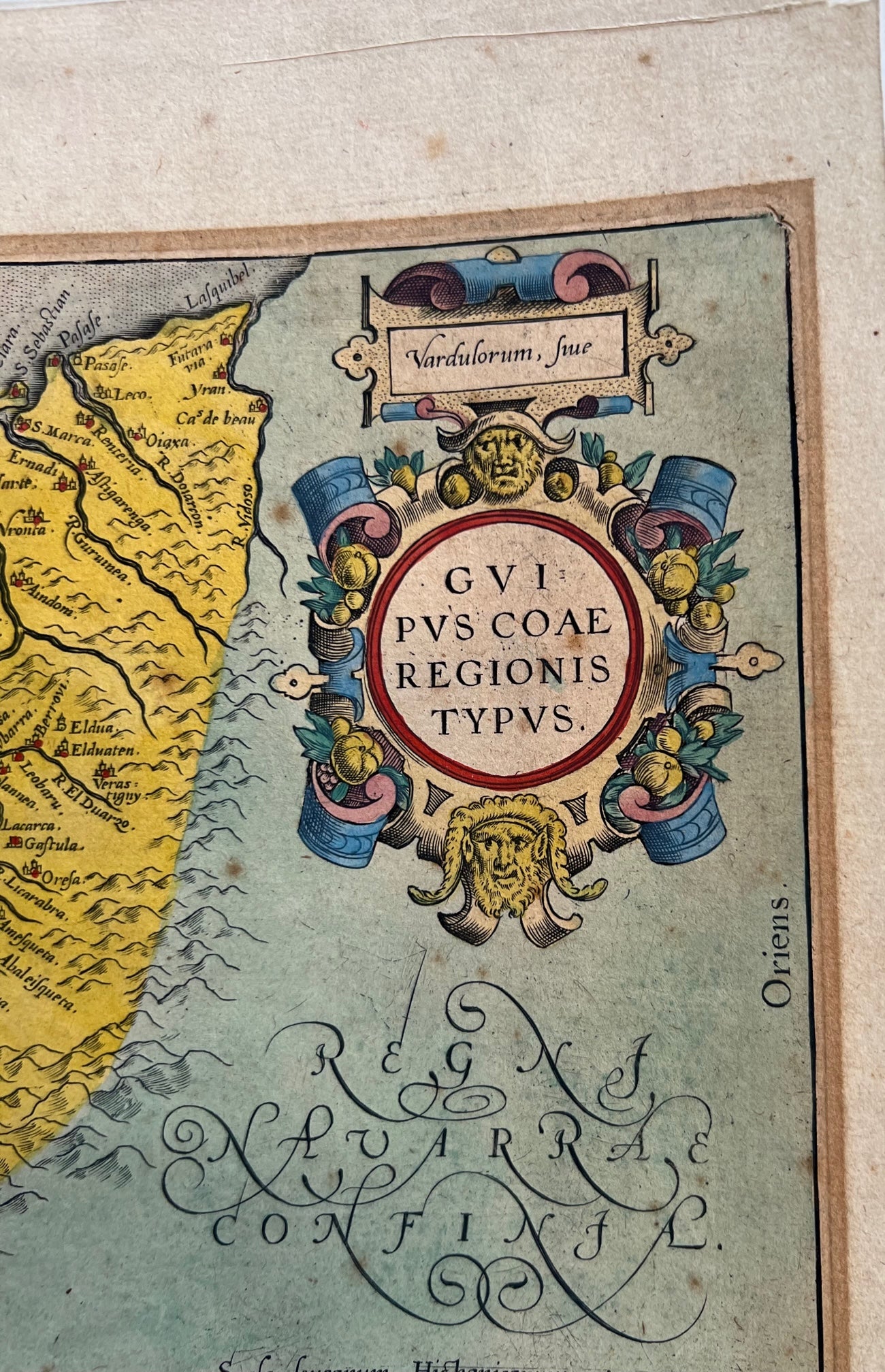
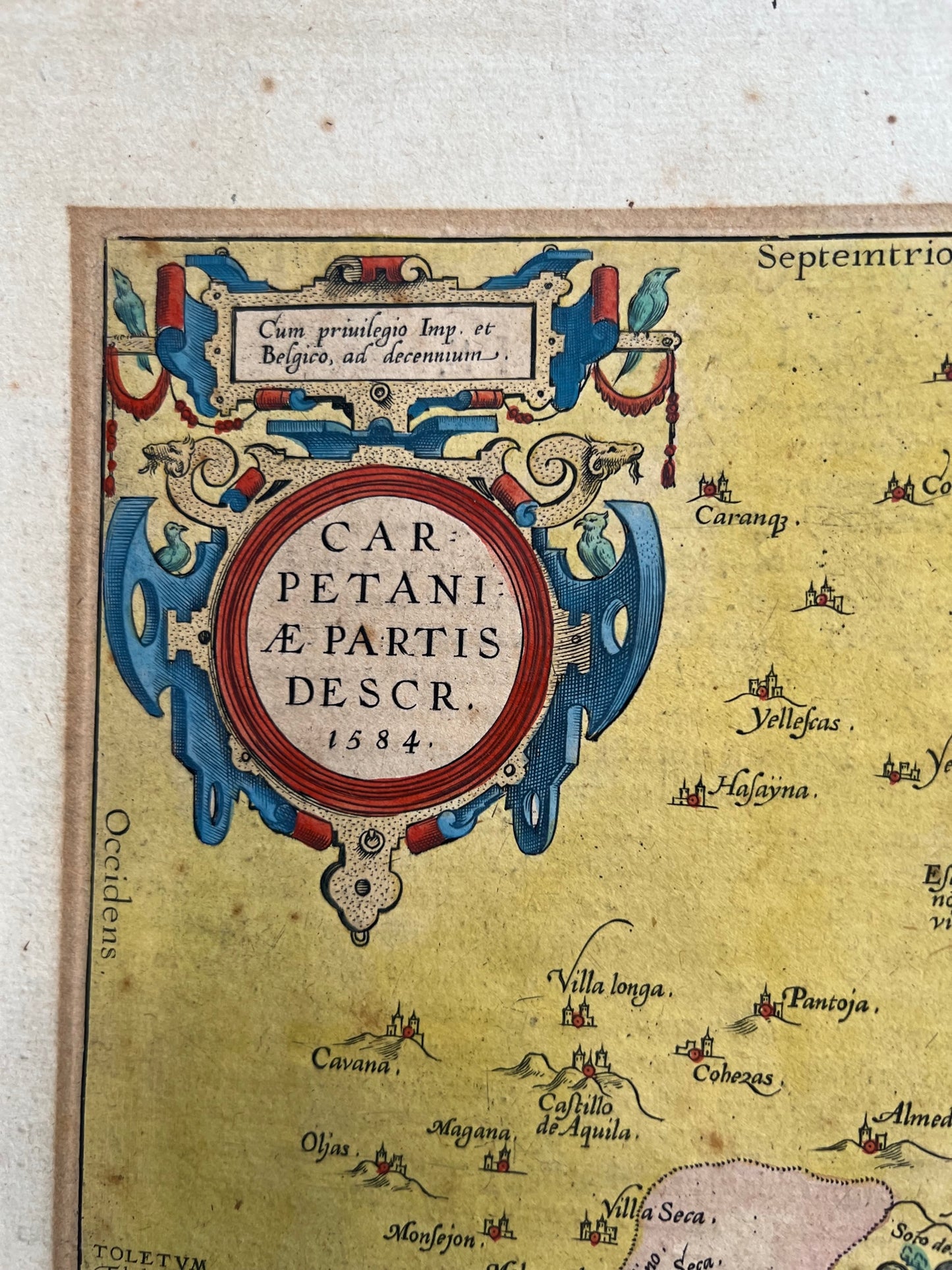
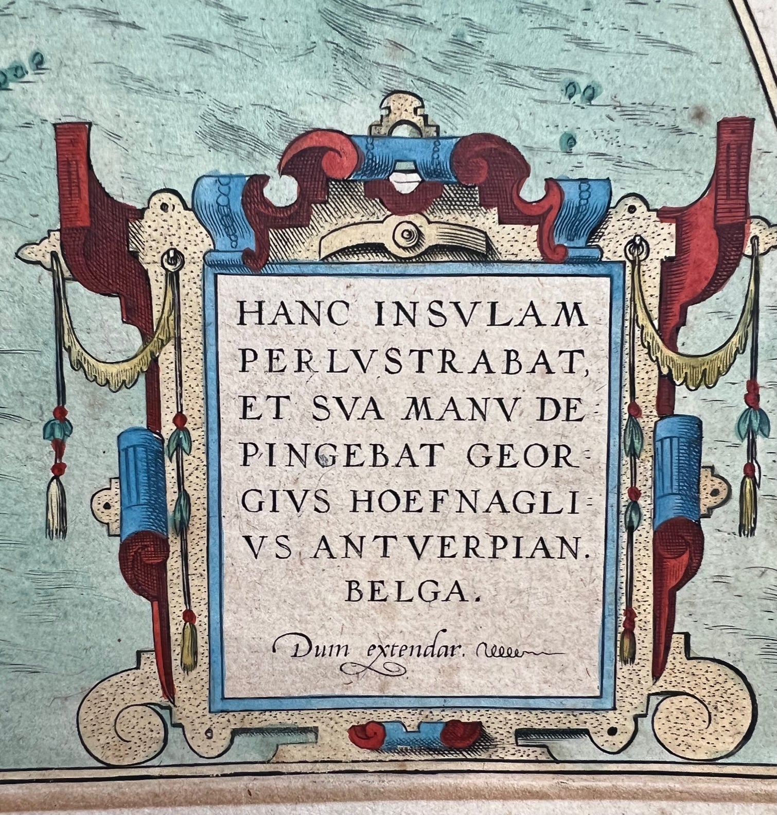
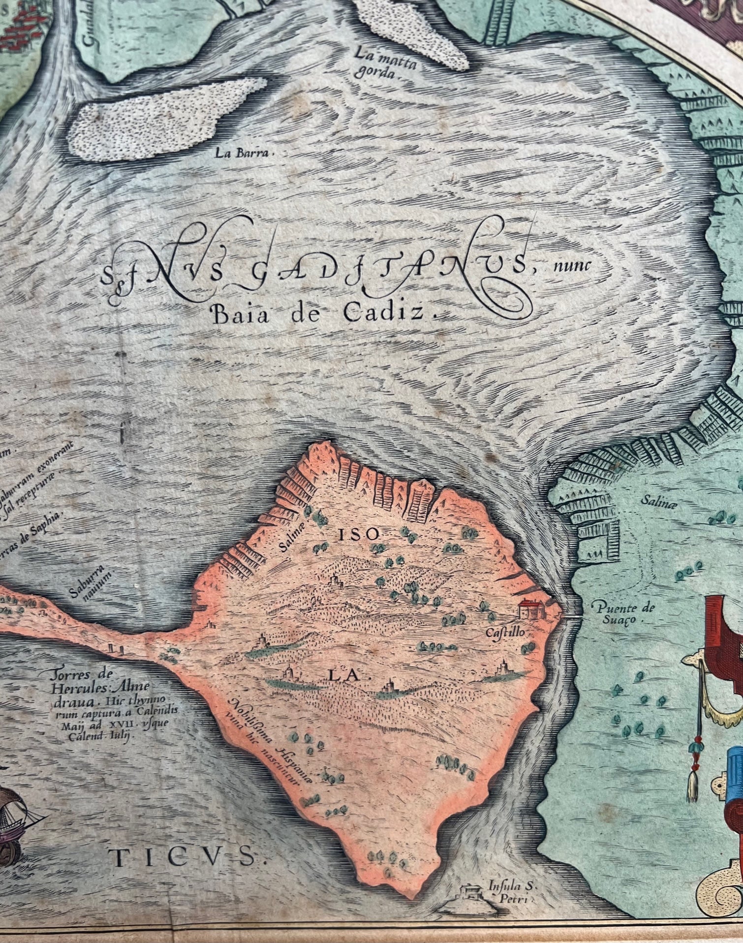
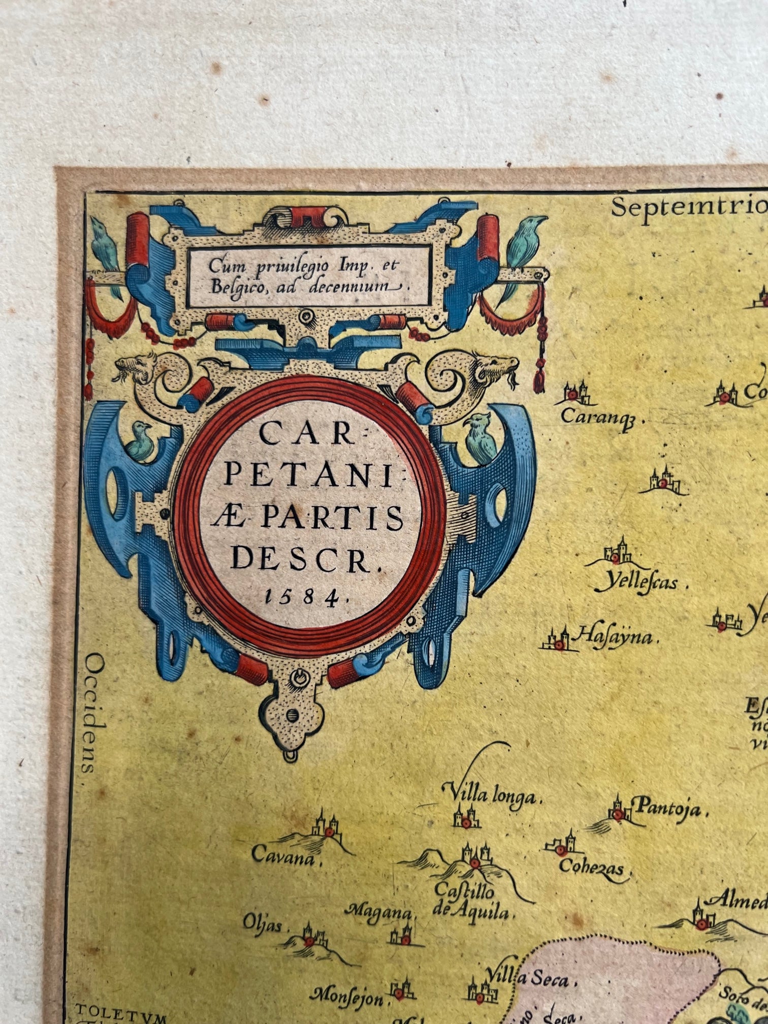
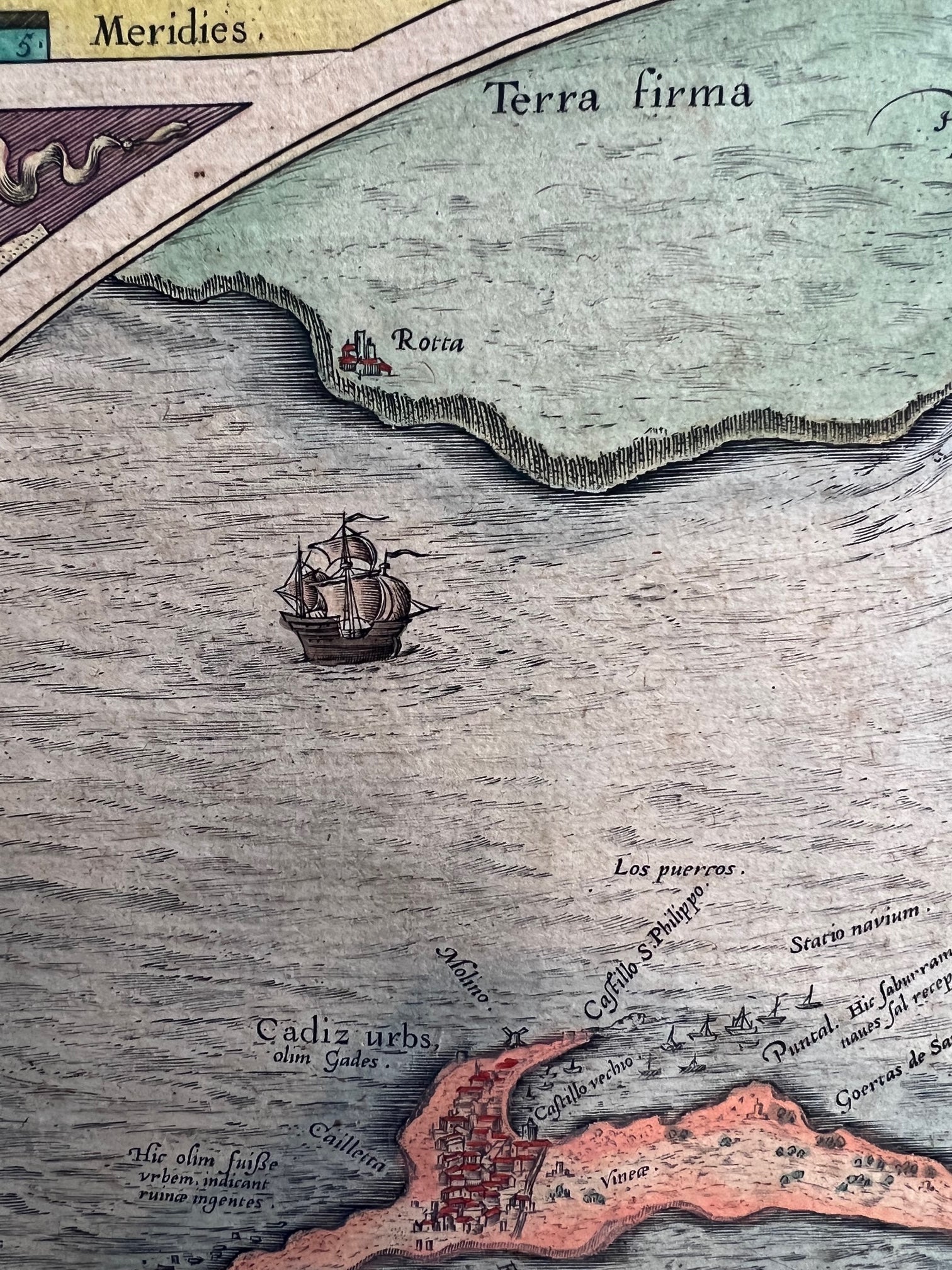
Carpetaniae Partis Descr. [on sheet with] Vardusorum, sive Guipuscoae Regionis Typus [and] Hanc Insulam Perlustrabat, et sua manu depingebat Georgius Hoefnaglius Antverpian. Belga. 1584.
Early (original hand colouring. Three maps on one folio sheet from Ortelius' Theatrum Orbis Terrarum. Text on Verso is English which dates this to around 1606
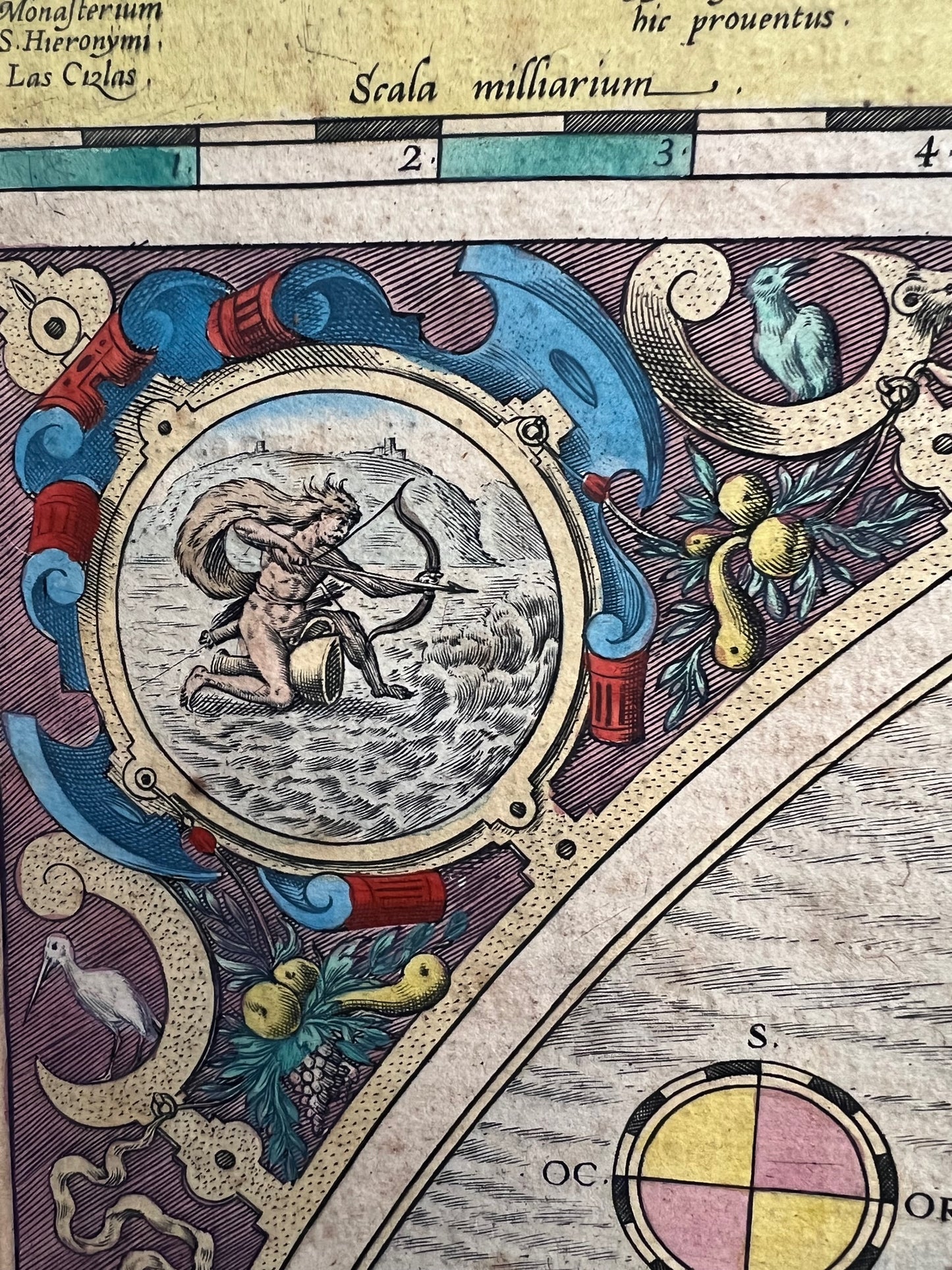
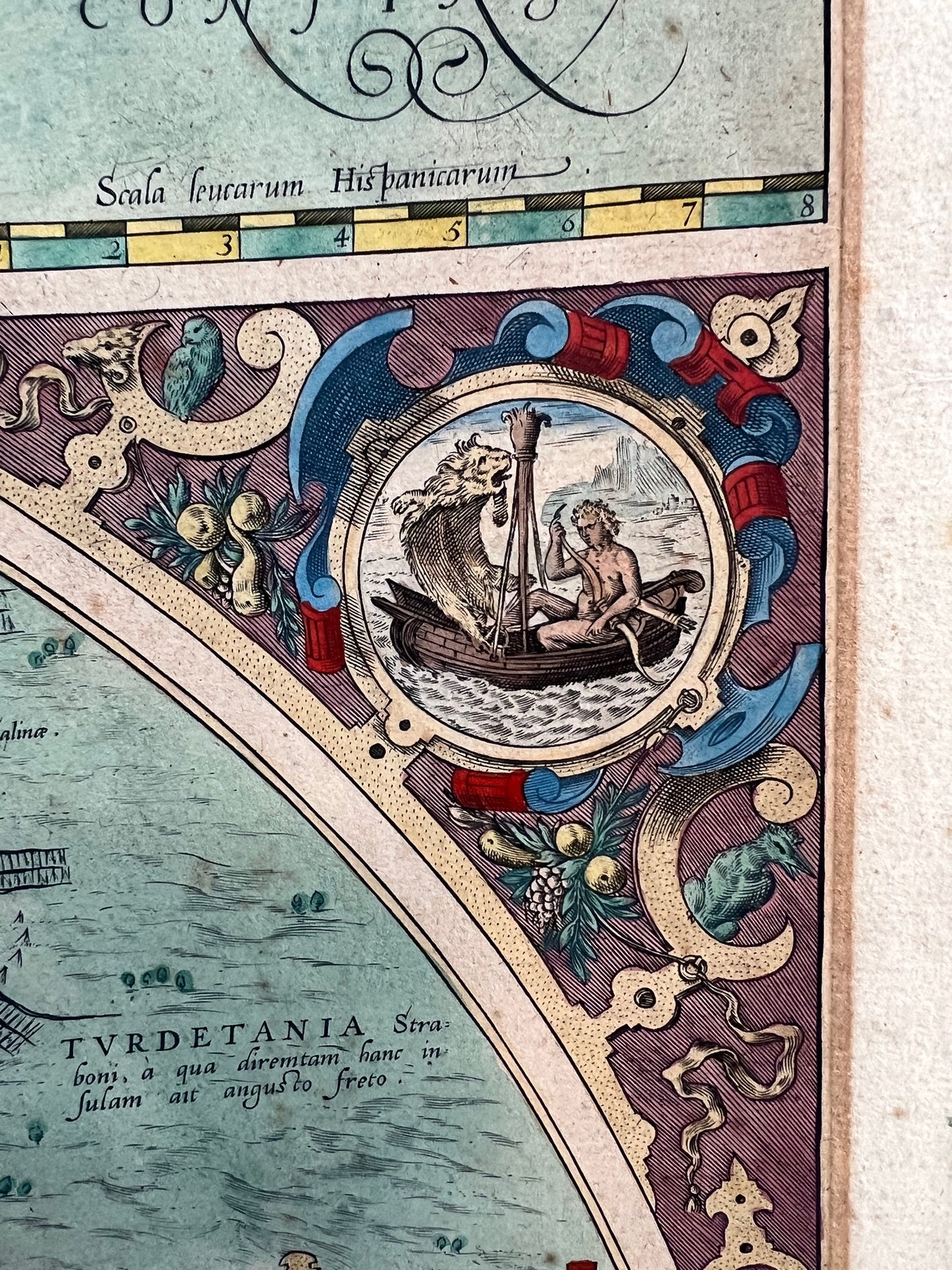
Each of the three maps has its own title cartouche.
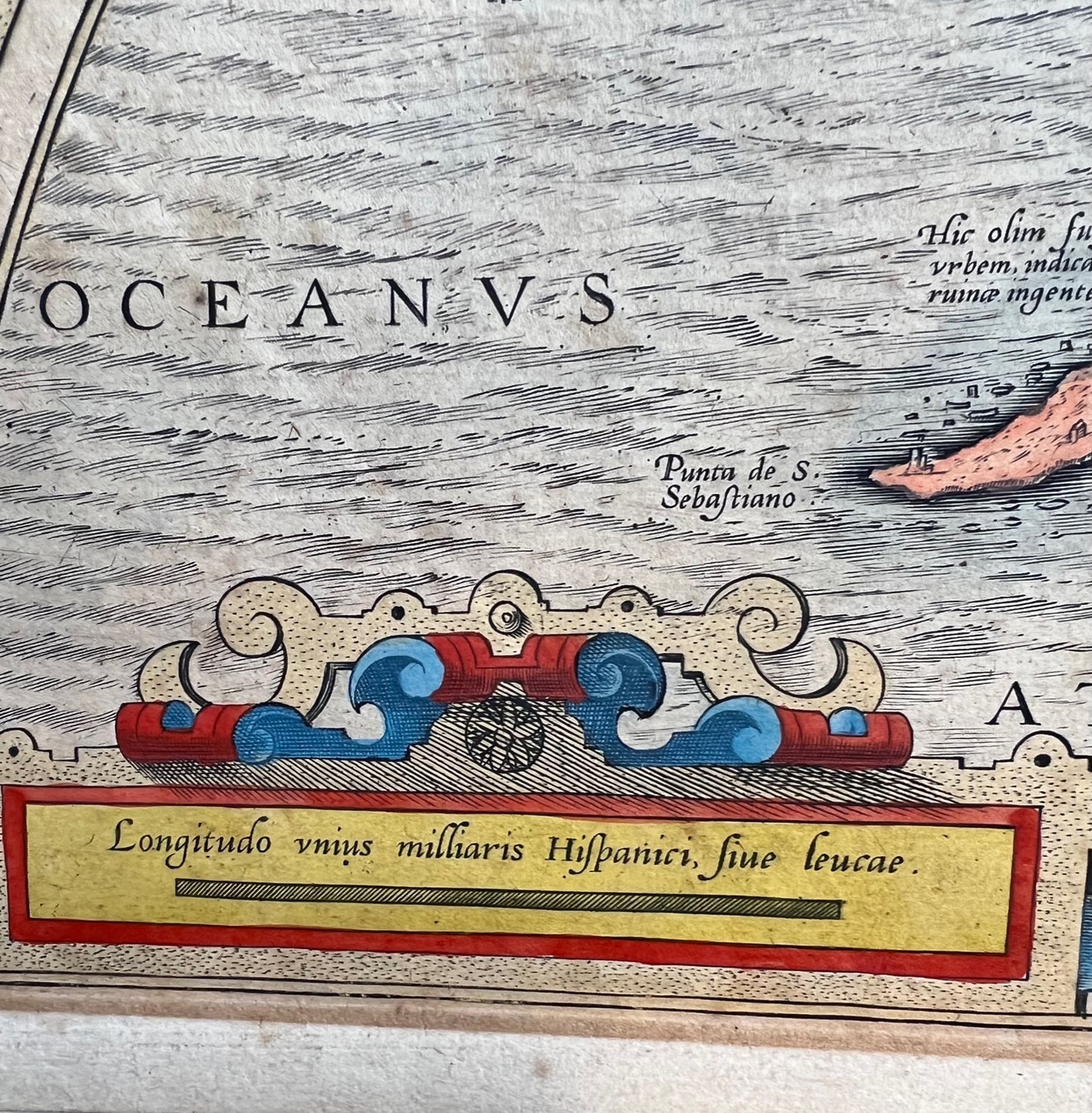
Size – 44 x 53 (sheet)
The larger semi-circular map at bottom is from one by Georgius Hoefnagliu. Georg (or Joris) Hoefnagel (1542-1601) was an artist, draftsman, printmaker, known for almost scientific naturalism of his plant and animal subjects. After the capture of Antwerp by Spanish troops in 1576, he traveled with Abraham Ortelius along the Rhine to the Mediterranean, visiting Venice and Rome, then on to Naples and other classical sites. The pair likely also travelled to Spain as they explored the Mediterranean.
The sources of the other two maps, Carpetania and Guipuscoa (Gipuzkoa) are unknown. The latter region is today an autonomous community of Basque Country. (It is also one of five Basque dialects.) Carpetania was an ancient region of Spain, roughly encompassing the Community of Madrid and Castile-La Mancha today.
An attractive map in very good condition of a good part of Spain.
£300